About this resource
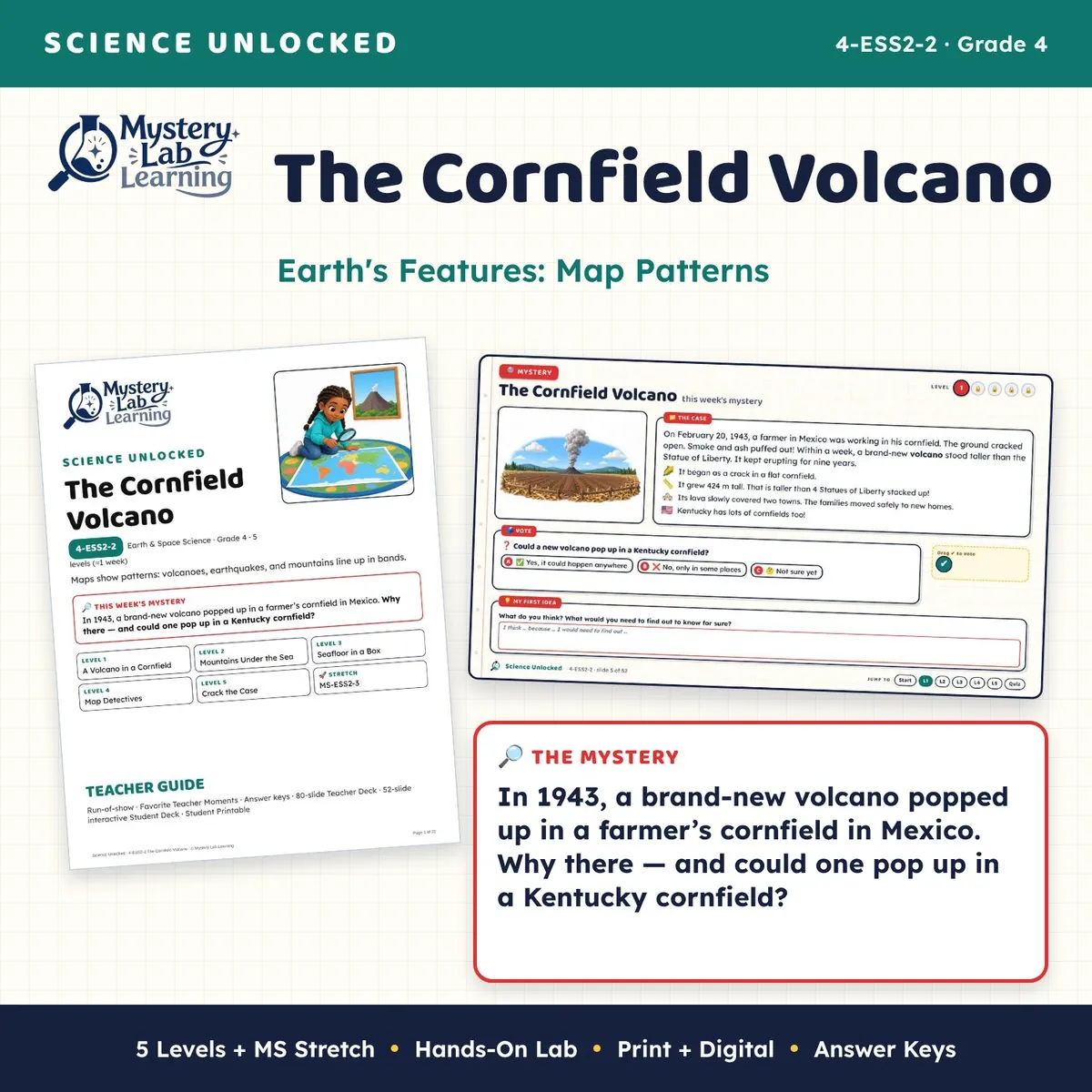
In 1943, a brand-new volcano popped up in a farmer’s cornfield in Mexico. Why there — and could one pop up in a Kentucky cornfield? Maps show patterns: volcanoes, earthquakes, and mountains line up in bands. In this one-week, 5-level Earth's Features: Map Patterns unit for 4th grade science (NGSS 4-ESS2-2), students investigate a real mystery, then use their evidence to crack the case.
The Cornfield Volcano is part of Science Unlocked, a series of mystery-driven lesson sets. Every set opens with a real, surprising phenomenon, builds the science one level at a time, and ends with students solving the mystery in a claim-evidence-reasoning (CER) write-up.
Topics: claim evidence reasoning (CER), science phenomenon, review games.
What's included
- Teacher Deck (80 slides, PowerPoint). Answers are highlighted on the slides. Speaker notes tell you what to say and do, what to watch for, and how to support students or push GT students further. Prep slides and answer keys are hidden, so they skip during a slideshow.
- Interactive Student Deck (52 slides, PowerPoint + PDF). Students type in boxes, drag cards and check marks, and rate their confidence. Assign one copy per student in Google Classroom or your LMS.
- Google Slides versions of both decks. Click a button in the Google Slides Links PDF to make your own copy in Google Drive.
- Teacher Guide (22-page PDF). The standard, a week at a glance, a materials list, misconceptions to watch for, a run-of-show for every level, answer keys and sources.
- Student Printable (19-page PDF + a low-ink greyscale copy). The same tasks on paper in 12 pt type, for students without devices, sub days, or anyone who learns better with a pencil. Slide numbers match the Student Deck.
- Self-grading digital activity. SCORM 2004 and SCORM 1.2 packages for an LMS that accepts SCORM uploads, a web package, and a single HTML file that opens in any browser. Notes, sorts, matches, tables and multiple-choice items grade themselves, and students get a copy-and-paste backup of their work. A 2-page teacher quick start is included.
- Two whole-class review games that open in any browser: a Jeopardy-style game (6 categories, 30 clues) and Trashketball, where teams answer on whiteboards and then shoot for points.
- Kahoot! and Blooket import files. 48 review questions, one file per level plus an all-levels file, with a printable answer key.
- Start Here guide, HTML & SCORM how-to guide and Terms of Use, so you know which file to open first.
The 5 levels (about one 45–50 minute class each)
- A Volcano in a Cornfield. Maps as data, map key, compass rose, scale bar, patterns. Key activities: Cornfield mystery, Label It: Puzzle Island.
- Mountains Under the Sea. Topographic maps, mountain chains, shelf, ridge, trench. Key activities: Label It: Land to Ocean Floor, mountain and depth maps.
- Seafloor in a Box. Investigation: map a hidden floor with many depth measurements. Key activities: Seafloor in a Box lab, depth profile, Lab Conclusion.
- Map Detectives. Volcanoes and earthquakes in bands, Ring of Fire, case clue map. Key activities: Real volcano and earthquake maps, sticker map, Mexico close-up.
- Crack the Case. Stretch MS-ESS2-3: the Hawaiian island line, final explanation. Key activities: Island Line Stretch, Crack the Case CER.
Built for real classrooms
- Every level follows the same routine: "I can" targets with a confidence check, a warm-up, copy-it notes with a word bank, hands-on practice, a checkpoint students must pass to unlock the next step, and an exit ticket. A 10-item Mini Quiz wraps up the week.
- Level 1 opens with a Power-Up on the earlier-grade ideas this standard builds on (2-ESS2-2, 2-ESS2-3, 2-ESS1-1).
- The last level includes a middle school Stretch (MS-ESS2-3) that every student tries and advanced students can take further.
- Hands-on lab (Seafloor in a Box: The Investigation). Student materials list: Shoebox with a taped lid (a row of 10 numbered holes); Secret clay seafloor inside (made by another group); Plastic straw marked every 1 cm; Cm ruler; Goggles for everyone. Safety notes are on the slides and in the Teacher Guide.
- Support is built in: word banks, sentence starters and support notes on the slides, plus GT extensions.
Standards
- NGSS 4-ESS2-2: Analyze and interpret data from maps to describe patterns of Earth’s features. (Kentucky 4-ESS2-2 uses the same wording.)
- SEP: Analyzing and Interpreting Data · DCI: ESS2.B · CCC: Patterns
- Stretch: MS-ESS2-3
- CCSS connections: 4.MD.A.2, RI.4.7, W.4.1, W.4.7, W.4.9
Try the digital activity first
- Not sure the self-grading activity will work in your LMS? Download the FREE HTML & SCORM Sample and test it with your students before you buy.
Save with a bundle
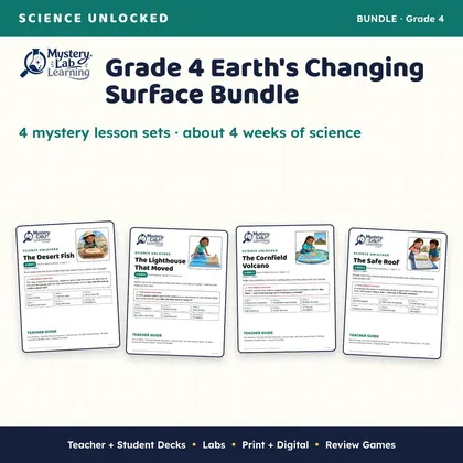
- Grade 4 Earth's Changing Surface (4 sets)
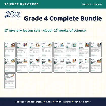
- Grade 4 Complete (17 sets)
- Science Unlocked Mega Bundle (all 89 sets)
Teach next
- The Desert Fish (4-ESS1-1)
- The Lighthouse That Moved (4-ESS2-1)
- The Safe Roof (4-ESS3-2)
More from Mystery Lab Learning
- See every Science Unlocked set, and follow to hear when new ones are added, at Mystery Lab Learning.
Good to know
- The illustrations in this resource were created with AI image tools, and AI tools helped draft the lesson text. Every slide, answer key and lab step was then fact-checked against the sources listed in the Teacher Guide and proofread.
- Kahoot!, Blooket, Jeopardy!, Google Slides and PowerPoint are trademarks of their owners. This resource is not affiliated with or endorsed by them.
- License: one teacher, for use with their own students. Please buy an additional license for each colleague who uses it.